Field Work:
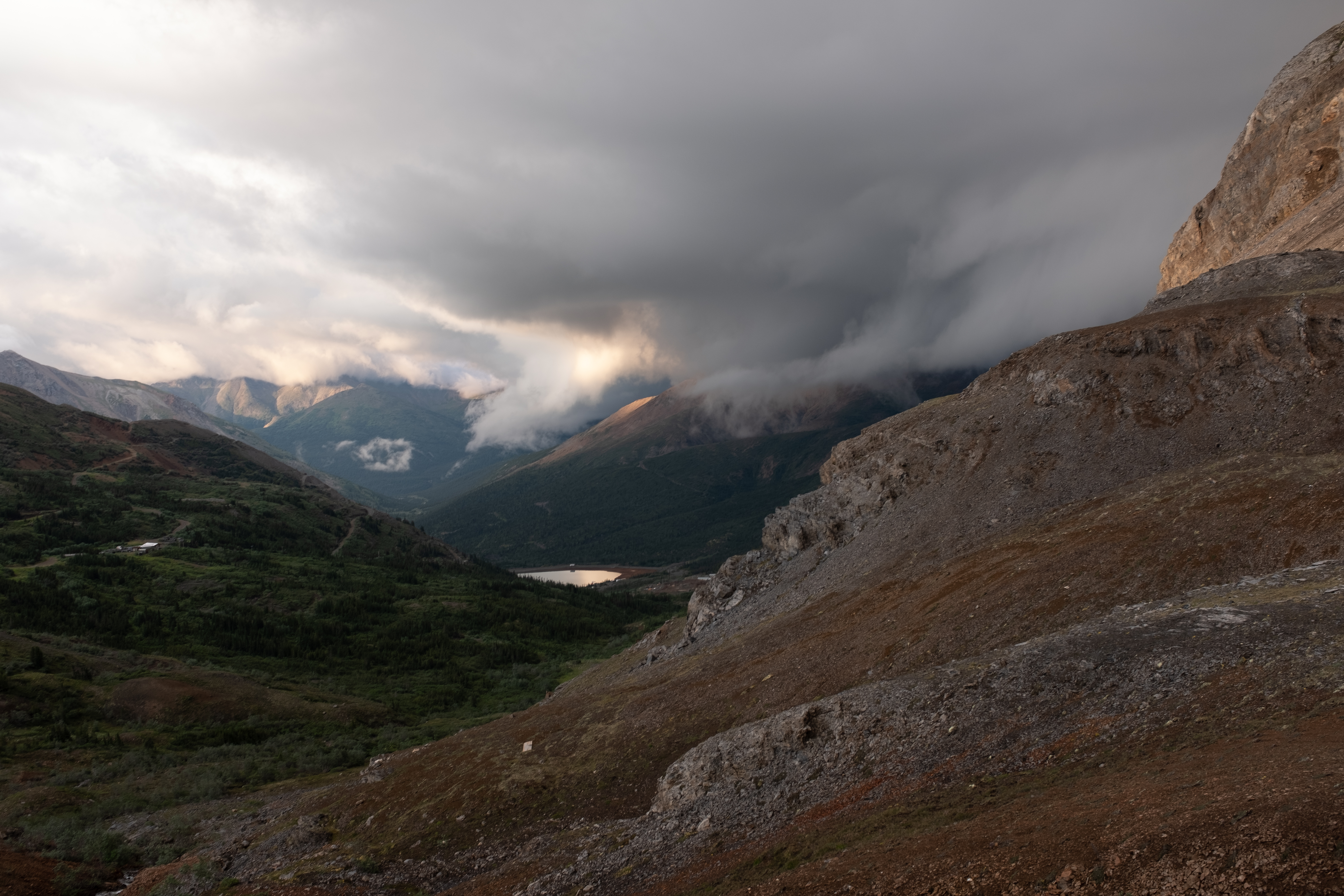
Most of my research begins in the field, targeting the rock outcrops that contain the stories of Earth's history that most interest me. Like many geologists, I start new field projects by observing and measuring sections, with an emphasis sedimentology, stratigraphy, and paleontology. My interest in the fine-scale environmental patterning and ecosystem engineering brought about by ancient reefs then requires me to delve within the geologic boundaries I can readily observe in the field. Thus, I've developed the following workflow to work within units like beds or reefs and work at the proper scale to answer my research questions.:
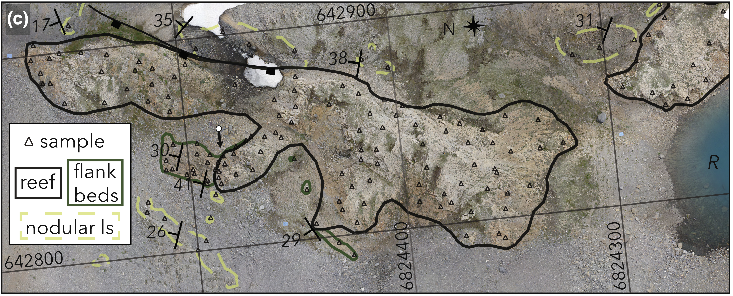
1. Construct geospatial framework
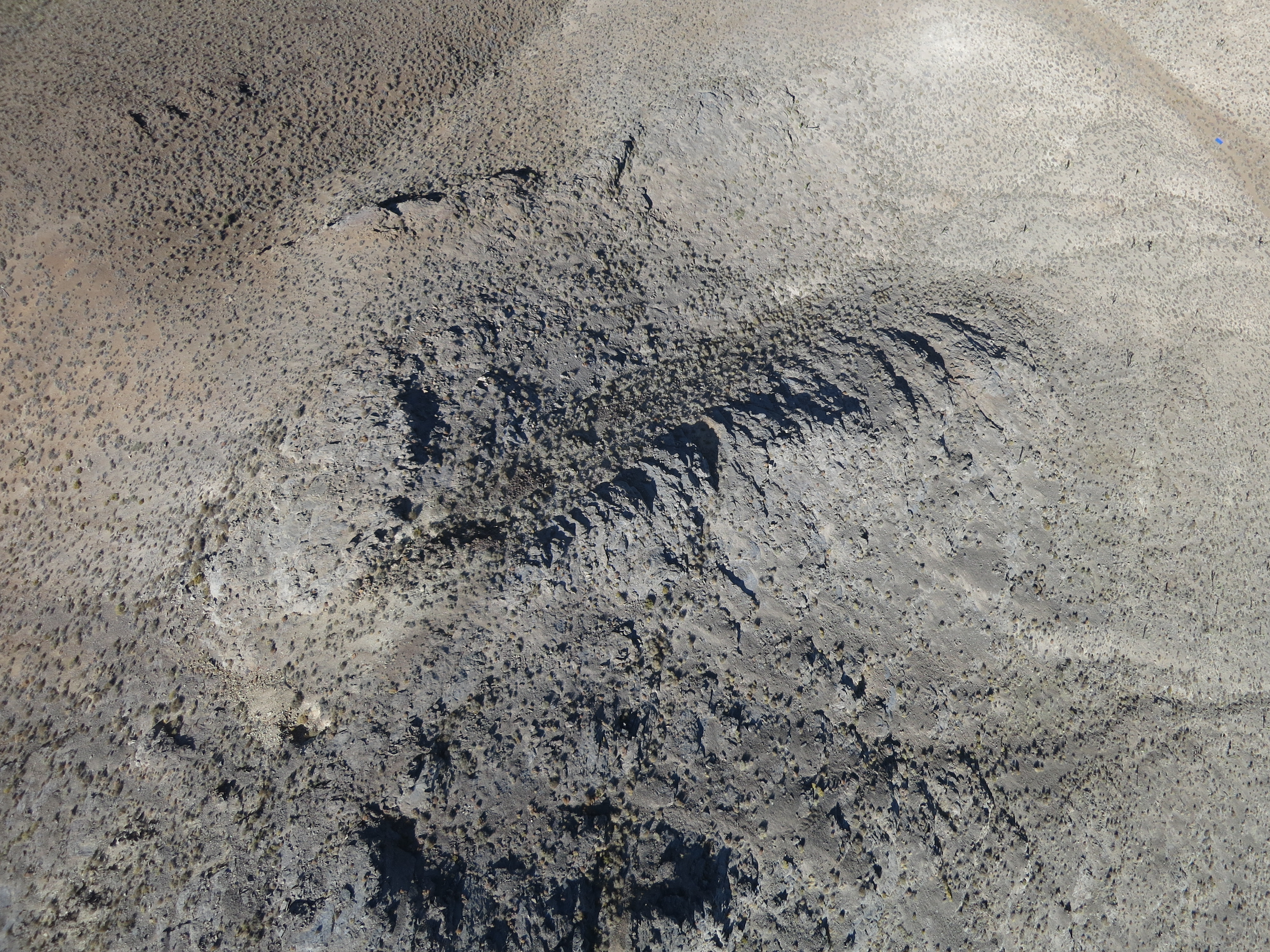
To work within geological boundaries, I start by making a high-fidelity, digital version of each outcrop I work on. This mapping effort begins with drone photography, and structure-from-motion reconstruction, which gives me a 3D model with down to 2.5 cm/pixel resolution that I can bring home with me. I further build out these maps with Trimble dGPS traces of important boundaries and point observations to improve the resolution of my drone-based digital elevation models.
2. Grid-based sampling
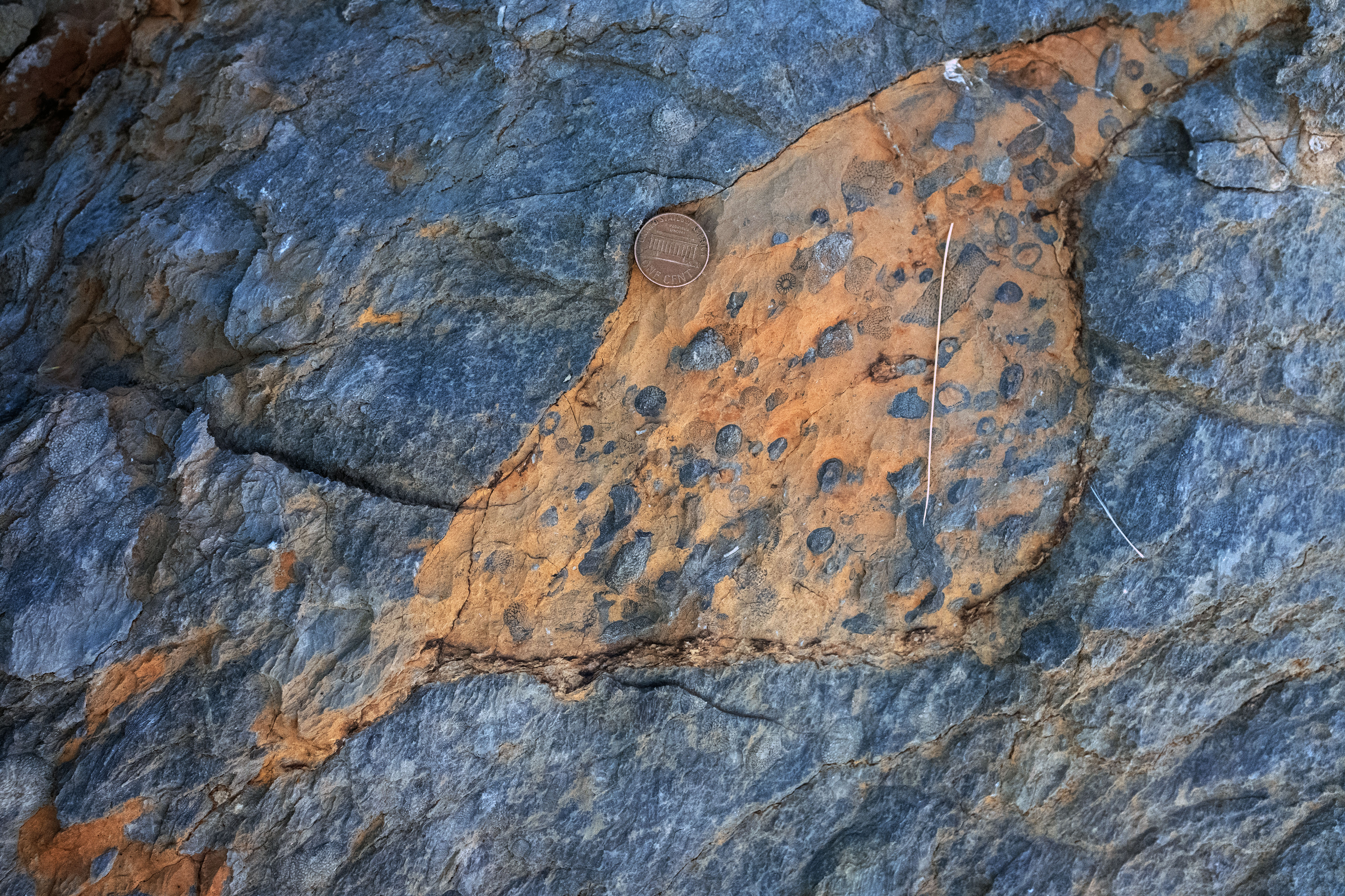
I want to be able to place all the geophysical measurements I can make from 2D or 3D petrographic images (see research page for details) back in their exact outcrop location. I also don't want to be biased in my sampling localities based upon what looks most interesting at the surface in outcrop. So, after constructing my geospatial framework, I walk out an approximate 10 meter-spaced grid over the outcrop and collect a sample from each point, marked with a dGPS observation. Prior to collecting each sample, I mark the strike-dip orientation of its face, so that all imagery I collect in lab can be put back in its proper orientation with respect to local bedding. In total, my high-resolution field approach, combined with image-based laboratory methods allow me to create the most accurate snapshots of ancient reef environments to date.